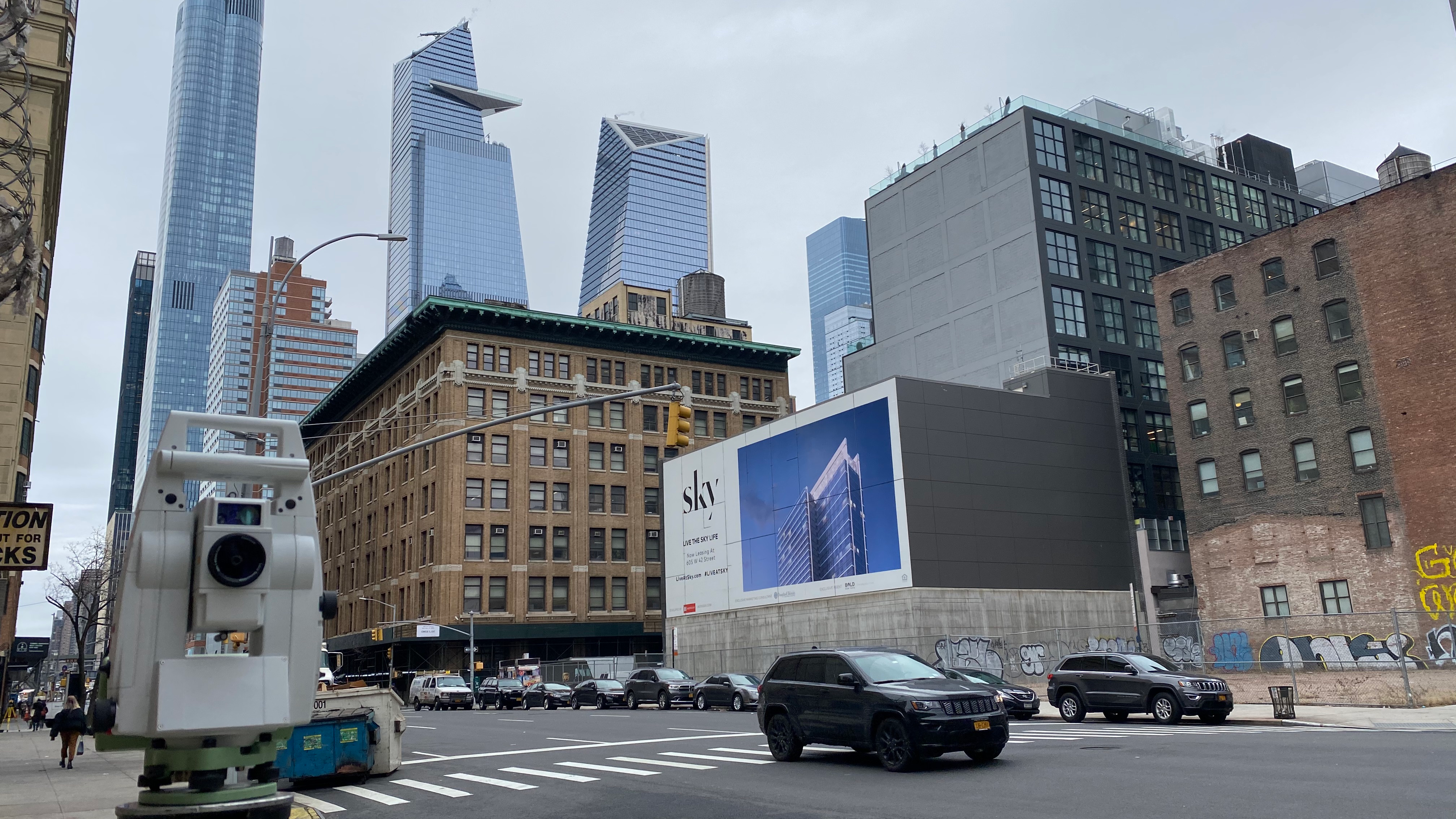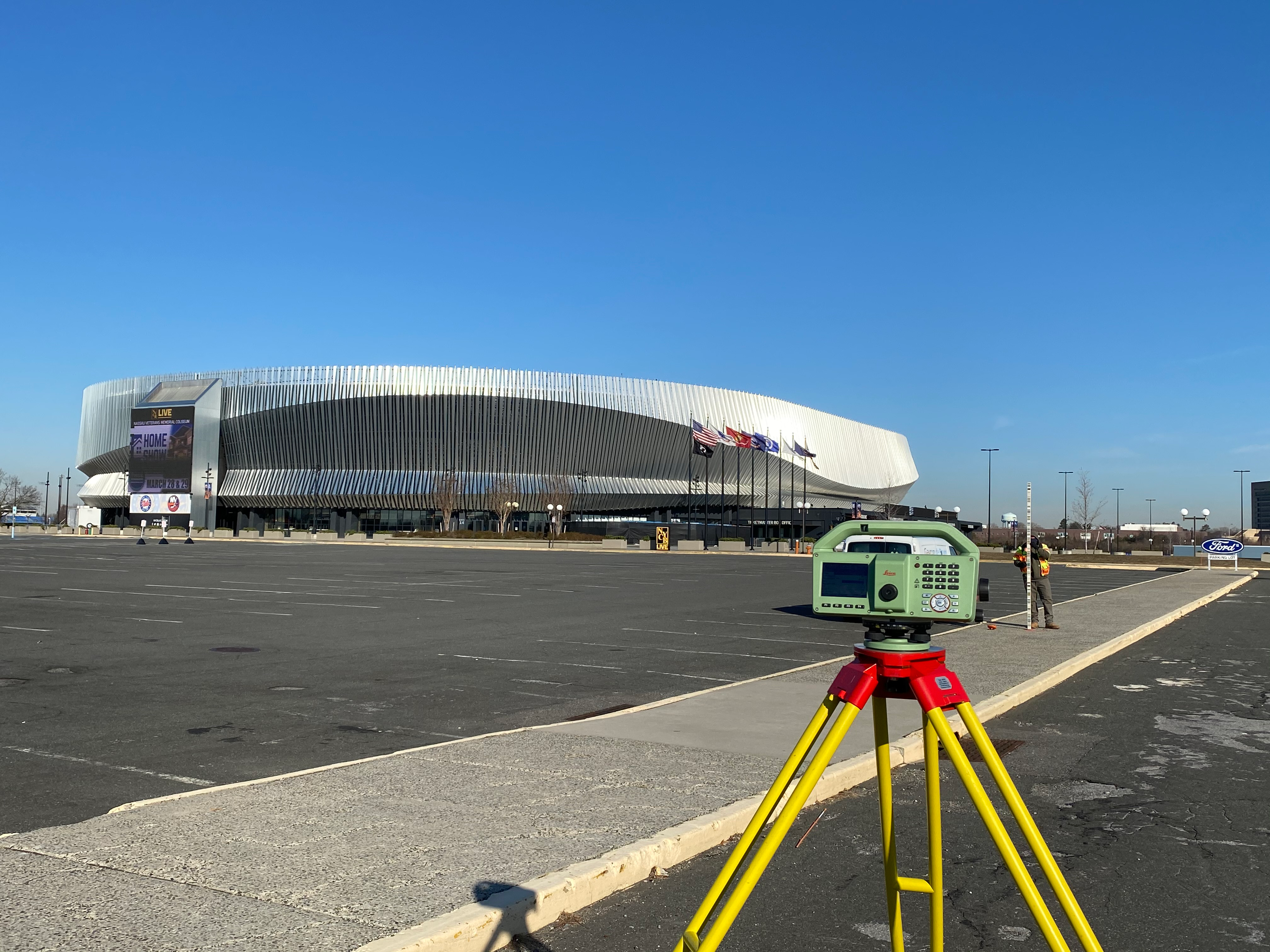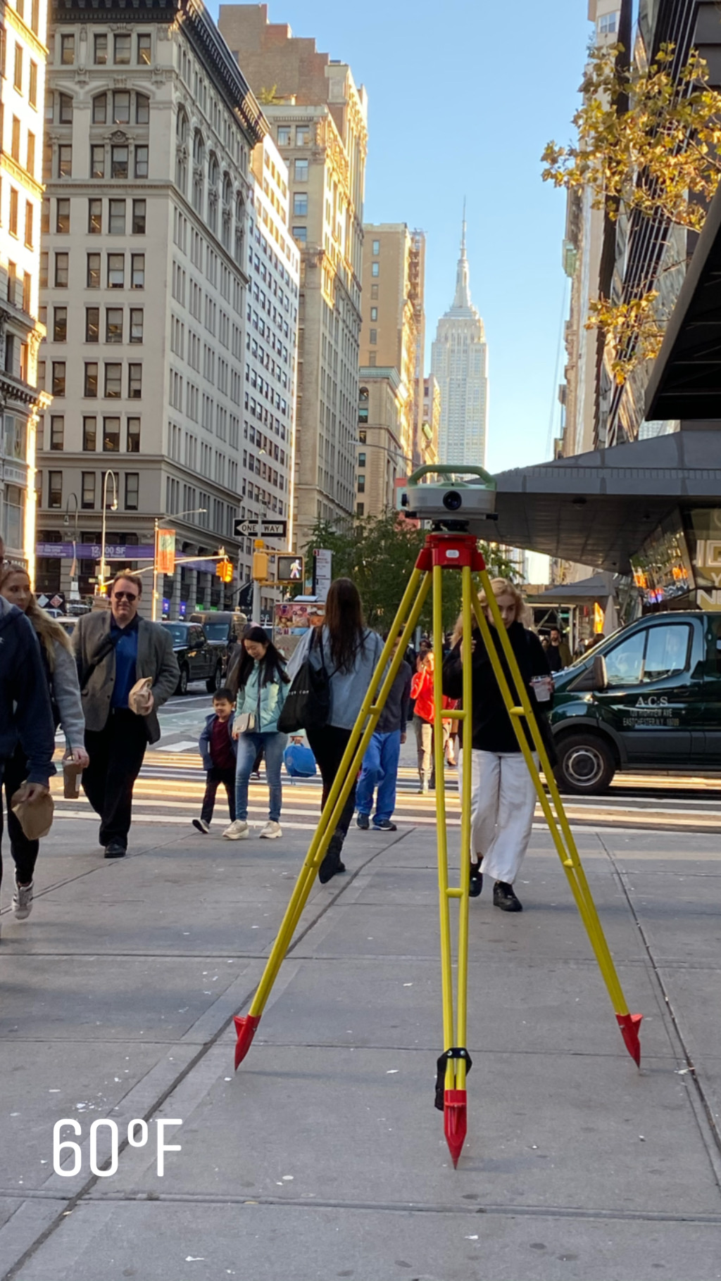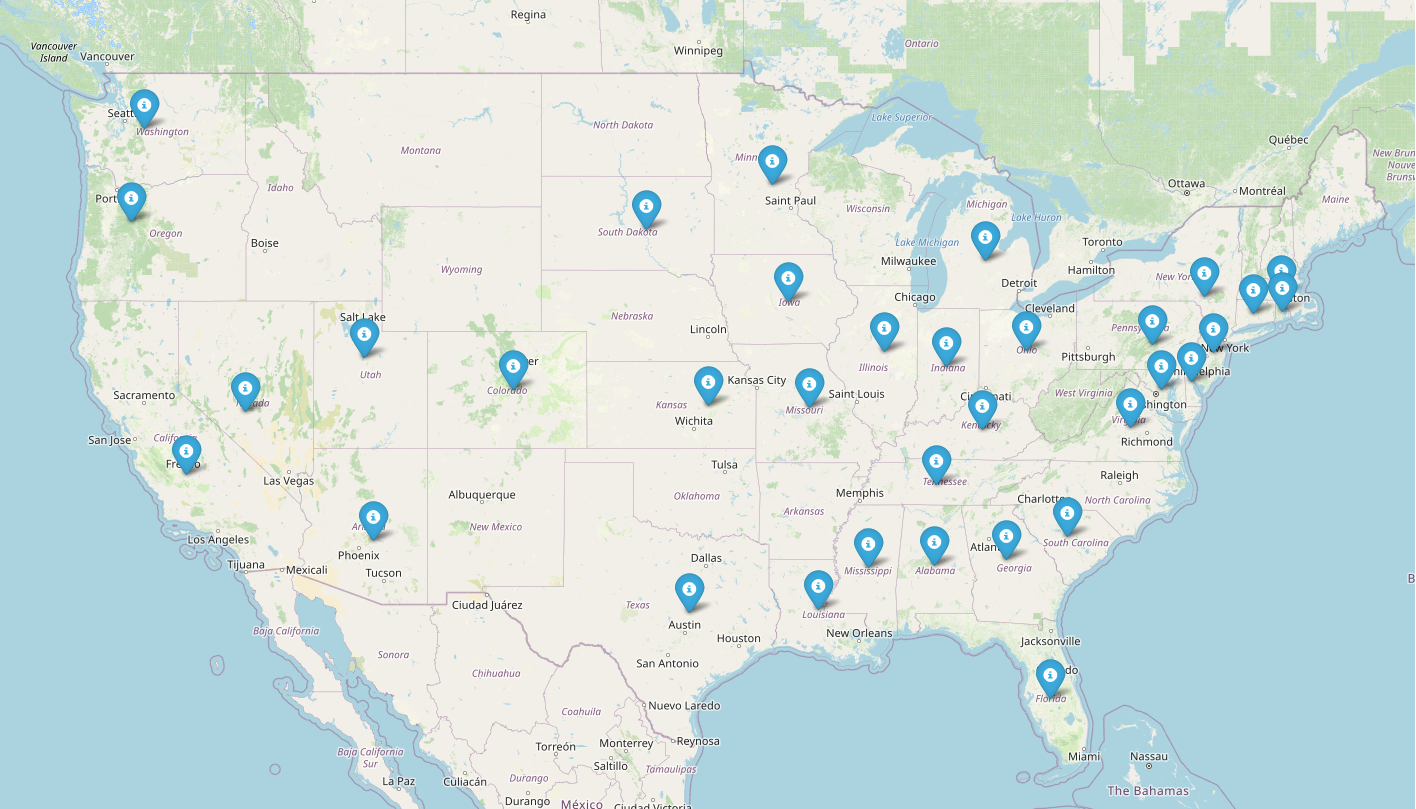
Fieldwork spanning the United States and Europe
Surveying the world
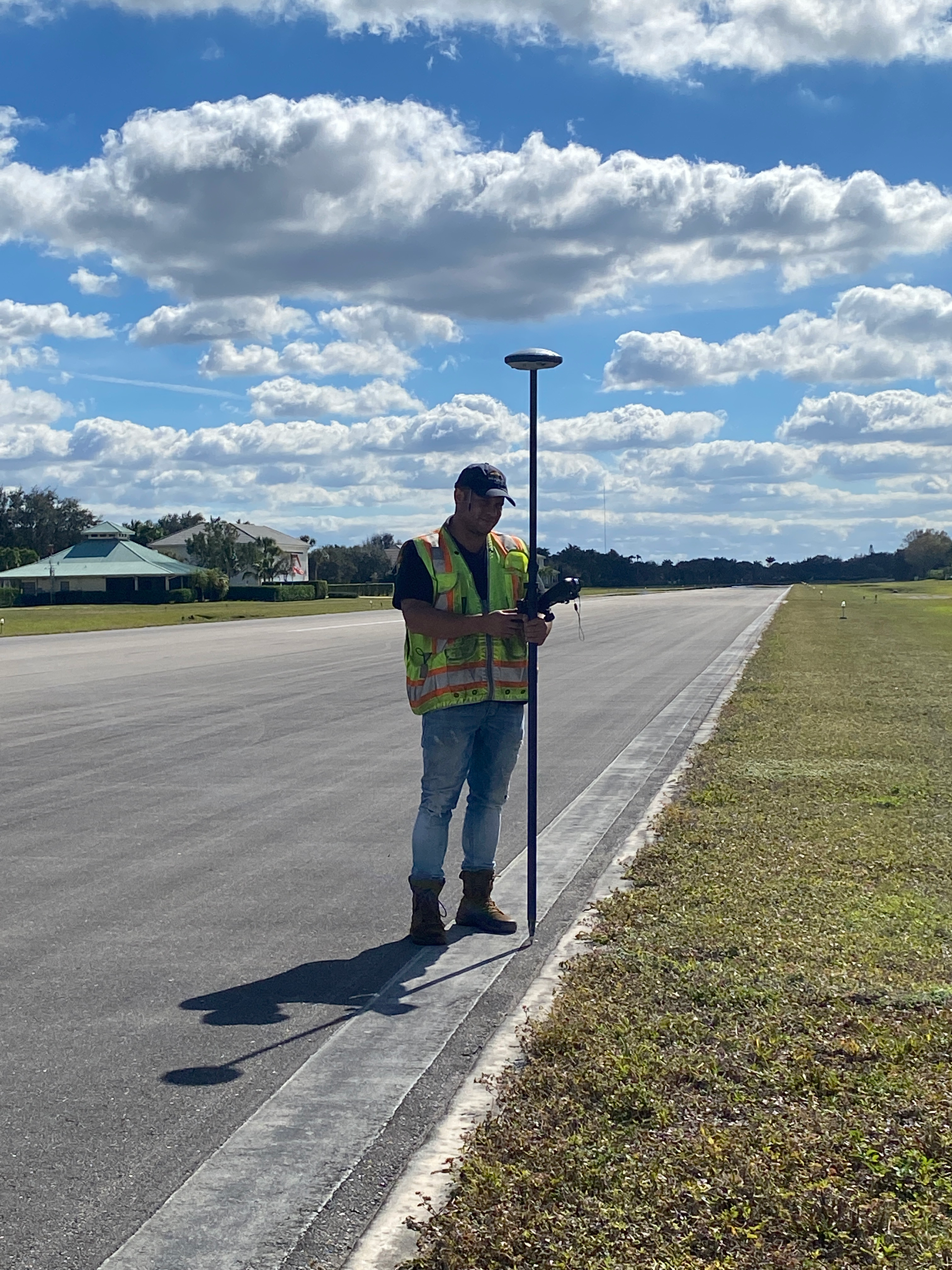
One point at a time
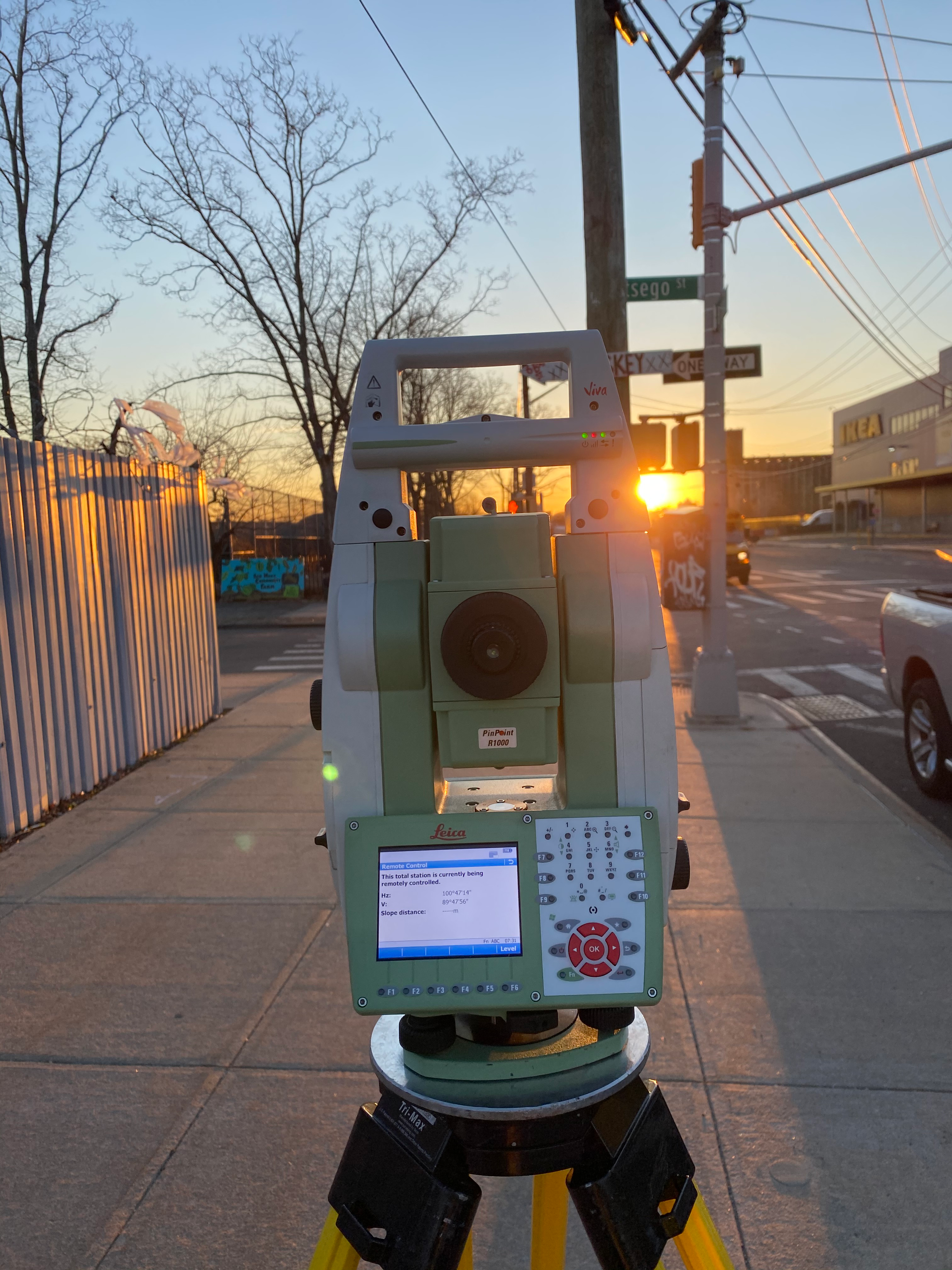
GPS · 3D Scanning · Total Station
Types of Surveys
- Boundary Surveys
- ALTA / NSPS Land Title Surveys
- As-Built Surveys
- Construction Layout & Monitoring
- Topographic Surveys
- DOT Transportation Projects
- FAA Airfield Surveys
- Geodetic Control (CORS & HARN)
- 3D Laser Scanning
- Drone & Lidar Support
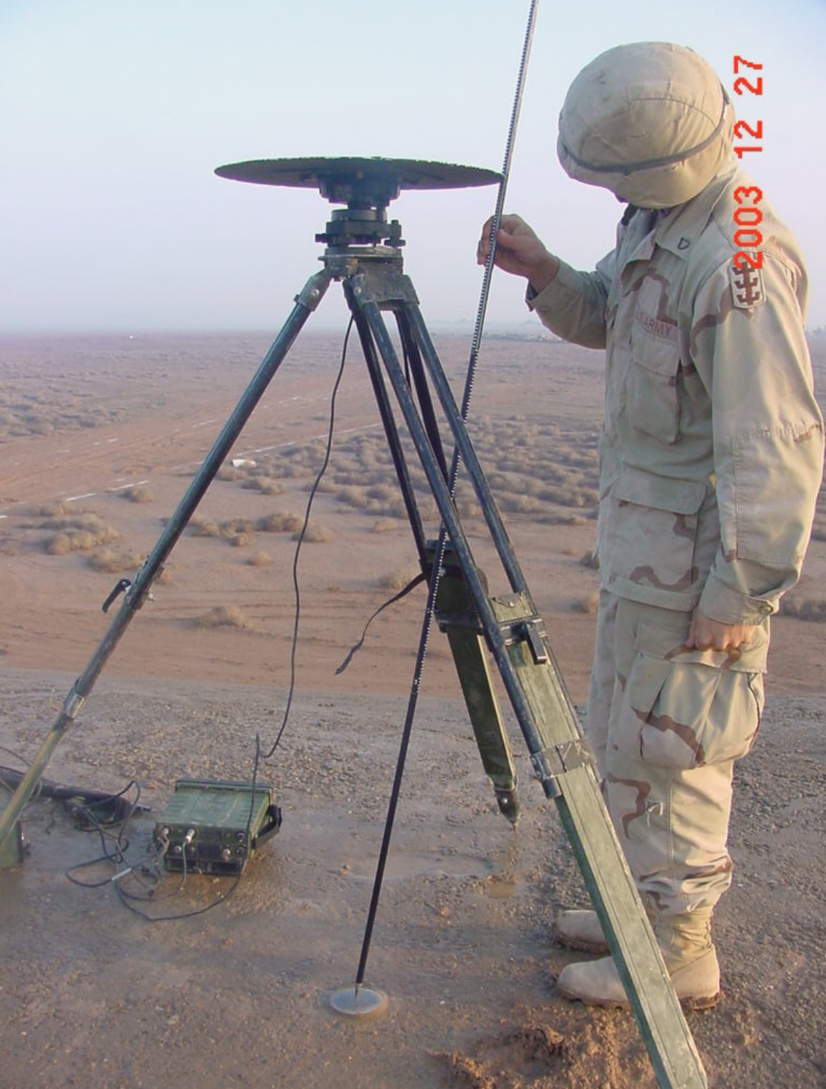
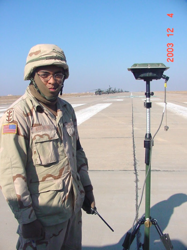
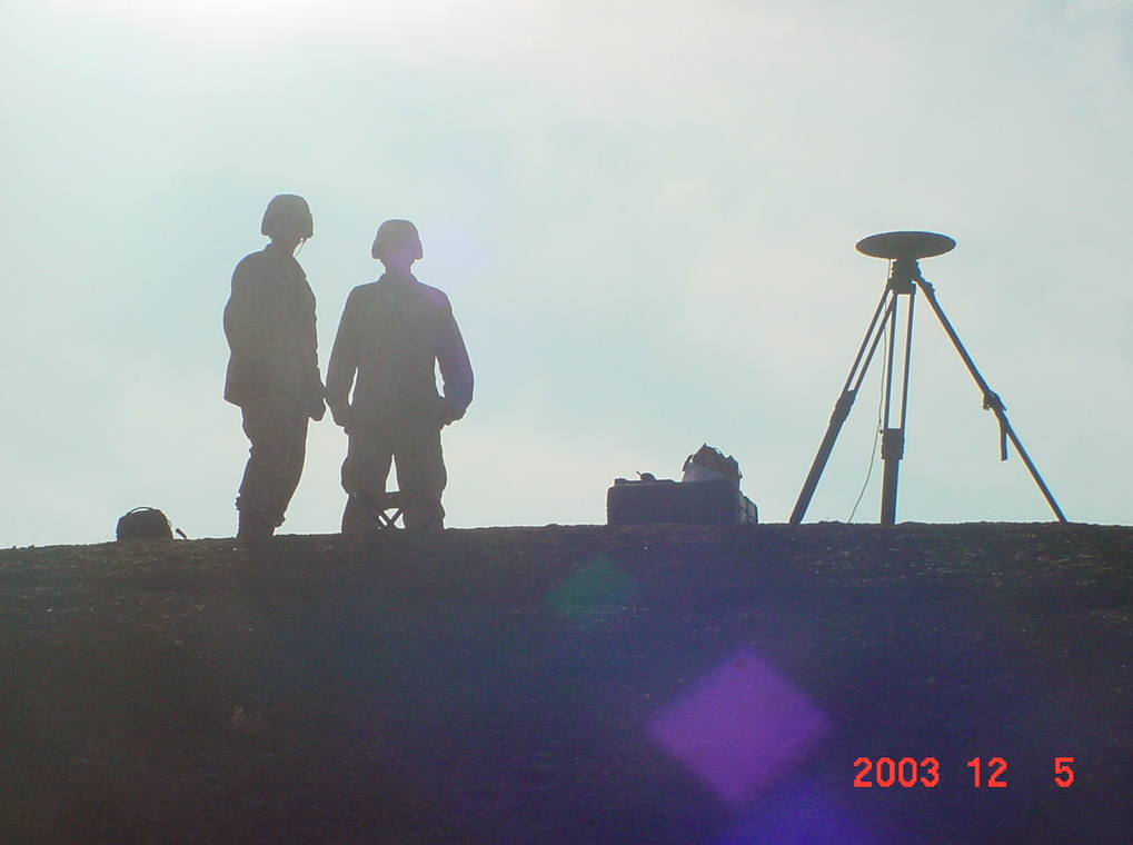
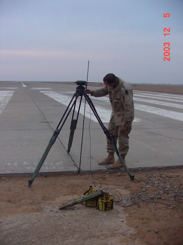
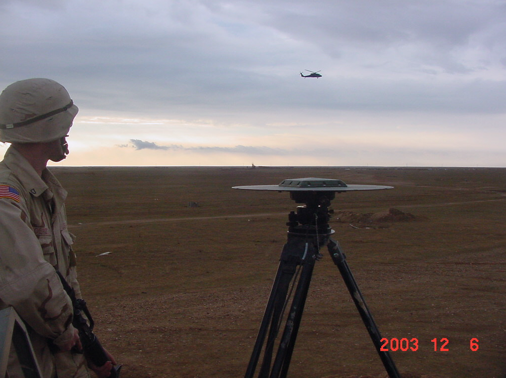
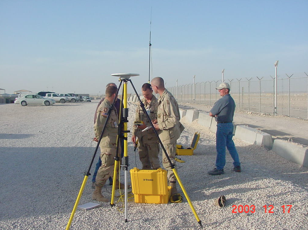
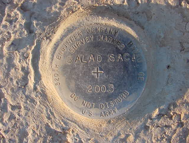
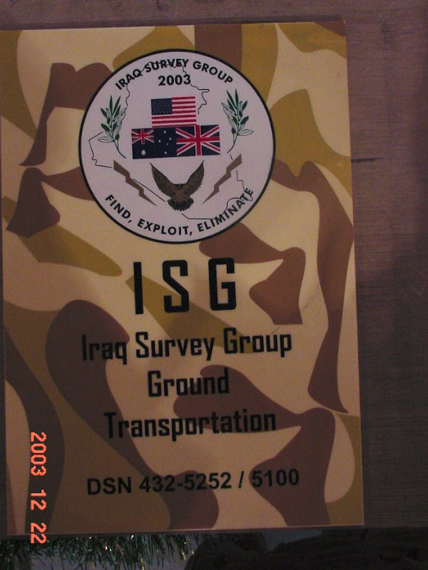
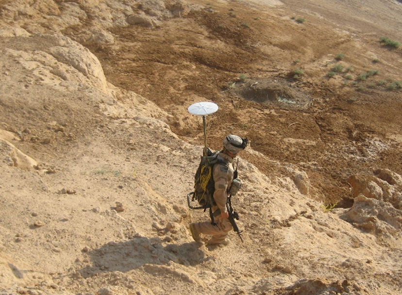
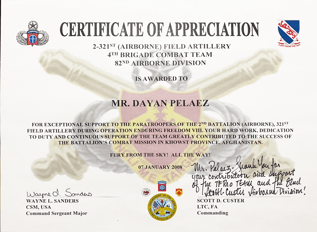
- Miltary Surveys
- CAD Drafting


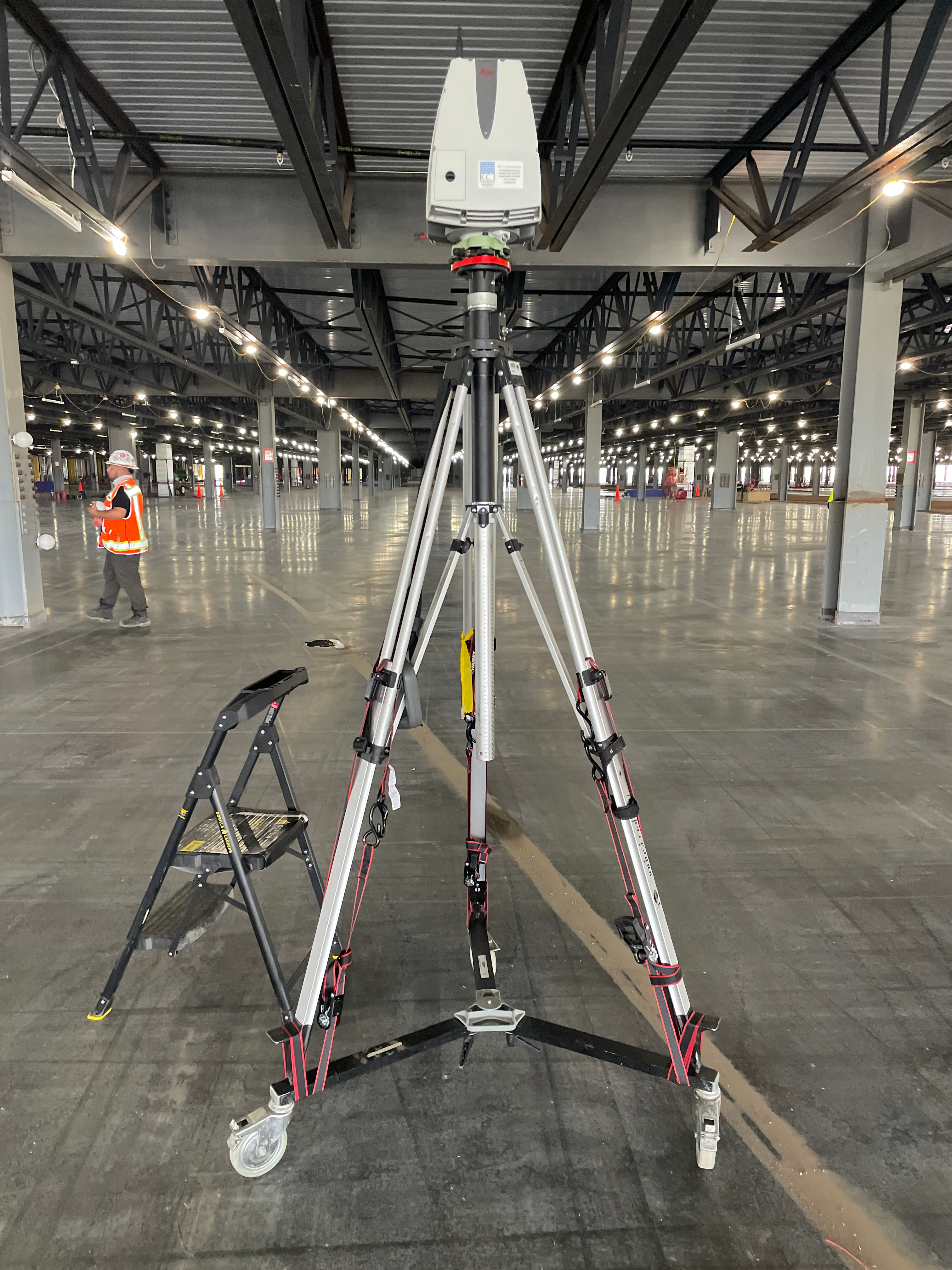
3D Scanning
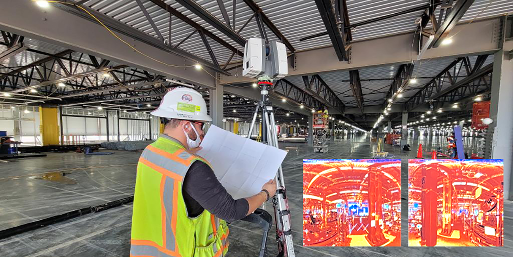
Seatle Amazon Fulfillment Center, 2022
3D laser scanning inside a live Amazon facility
San Antonio Amazon Fulfillment Center, 2023
Drone LiDar
Drone LiDAR survey capturing terrain data from above
Valdosta, Georgia 2023
CAD Drafting
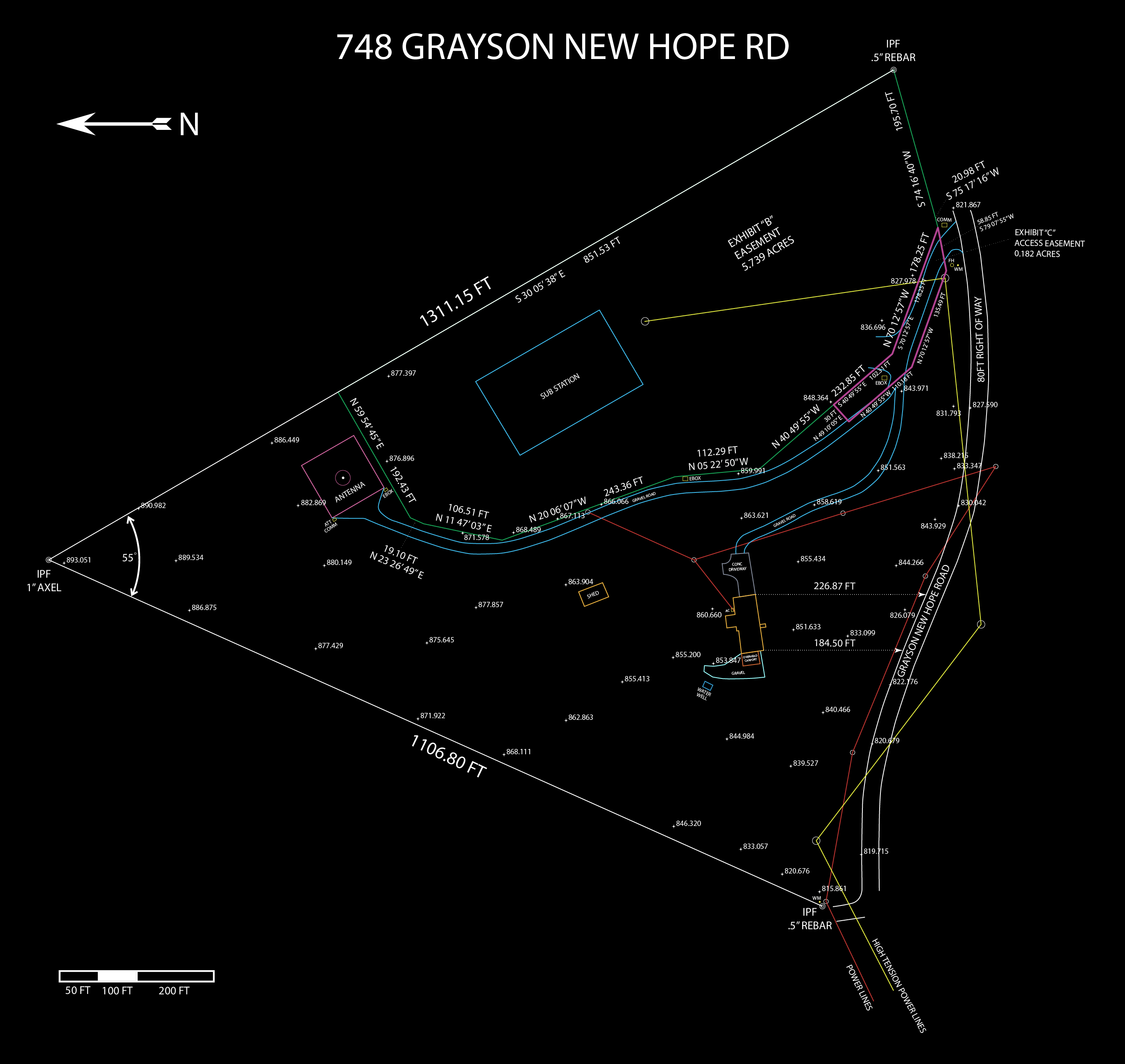
Grayson, Georgia, 2024
Images of Surveys
Where data collection meets terrain, travel, and real-world conditions.